Authorities
Management, analysis and presentation of environmental, energy and geodata for the federal government, cantons and municipalities
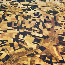
Specialists in the areas of agriculture, energy, nature conservation and spatial planning are heavily dependent on geodata. We advise you regarding the conception, and support you in the implementation of Geographical Information Systems (GIS). We carry out the spatial analysis you need for implementation, and standardise your geodata.
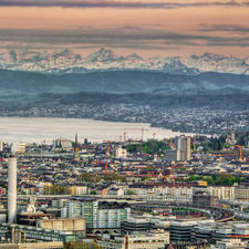
With our web applications, we support you in your informational needs in respect of the general population - especially in the representation of cartographic information. We offer you independently themed websites from A to Z, or develop solutions that can be fully integrated into your existing online presence.
Our current maps of air pollution are known all over Switzerland. In addition, we support cantons in air pollution control when introducing regulations for nitrogen, as well as in the case of emission balances and cadastres.
In the area of renewable energies, Meteotest develops potential analyses for solar and wind power and supports you in energy concepts and in the fulfillment of energy requirements.
To account for climate change in cantonal spatial planning, we create planning recommendation maps based on regional climate models.