Geoinformatics
Analysis and visualisation of spatial data
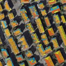
Meteotest contributes to Switzerland's national geodata infrastructure and makes use of it in its projects. Geodata is a significant economic asset for any country.
We are specialists in analysis, processing and visualisation of complex spatial data. We have considerable experience in creating and managing spatial data models. For recurring GIS tasks we develop specific applications with ArcGIS Desktop.